
OAN Staff Cory Hawkins
4:03 PM – Tuesday, December 2, 2025
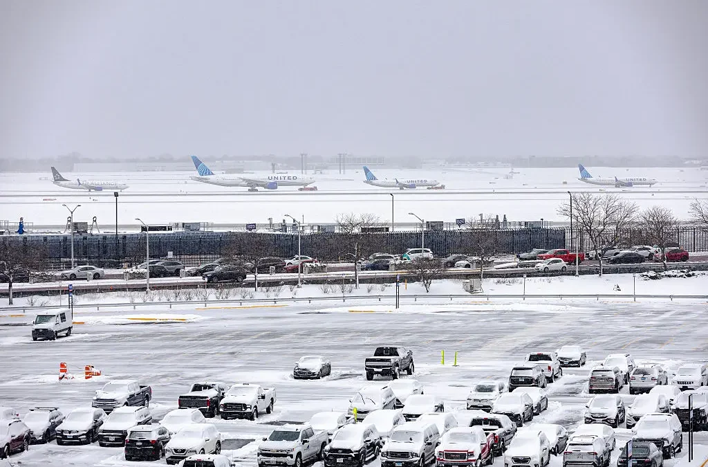
A powerful winter storm, which has dumped several inches of snow across the Midwest, will most likely evolve into a bomb cyclone, pouring more snowfall across the region, according to meteorologists.
Millions of Americans from Ohio through Maine have since been alerted about the “impending dangers” of the incoming storm, which trickled in Tuesday morning.
Inland areas are reportedly receiving an inch of snow an hour.
The storm has the potential to transform to a bomb cyclone if pressure continues to plummet as it approaches the coast. This would likely result in bringing intense rain, winds, and snowfall to New York City.
A bomb cyclone is a term used by meteorologists to describe a storm undergoing bombogenesis, defined as a rapid intensification where central pressure drops at least 24 millibars in 24 hours. Winds have the potential to gust up to 50 mph, and often lead to white-out conditions.
Advertisement
The Weather Service advises that snowfall rates of at least an inch an hour can lead to significant accumulations, with totals ranging from 5 to 10 inches, or a possible foot in some locations.
“A slight shift in the storm track farther offshore could help to pull in cold enough air for snow to occur in places like Philadelphia, New York City and Boston,” sources said. Inland, where colder air is more dominant, “a zone of 3-6 inches of snow is possible across eastern Pennsylvania, upstate New York and across portions of New England.”
Stay informed! Receive breaking news alerts directly to your inbox for free. Subscribe here. https://www.oann.com/alerts
What do YOU think? Click here to jump to the comments!
Sponsored Content Below